Fitz Roy 3405 m · Cerro Torre 3128 m · El Chaltén 400 m
Your hotel on the map.
We make 3D maps on the real relief of the mountains: where your place is, what you see from the window, where the trails start and how to get there. For your website, your listings and your social media.
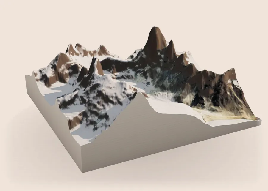
Before booking
Guests ask four questions. A map answers them at a glance.
Where is it?
The aerial view with your place marked, the town and the mountains around it.
What will I see?
The mountains from your place, in the light of the hour you choose.
What can I do from there?
The trails that start at your door, with distances and climb.
How do I get there?
The road from the airport or the highway, without getting lost.
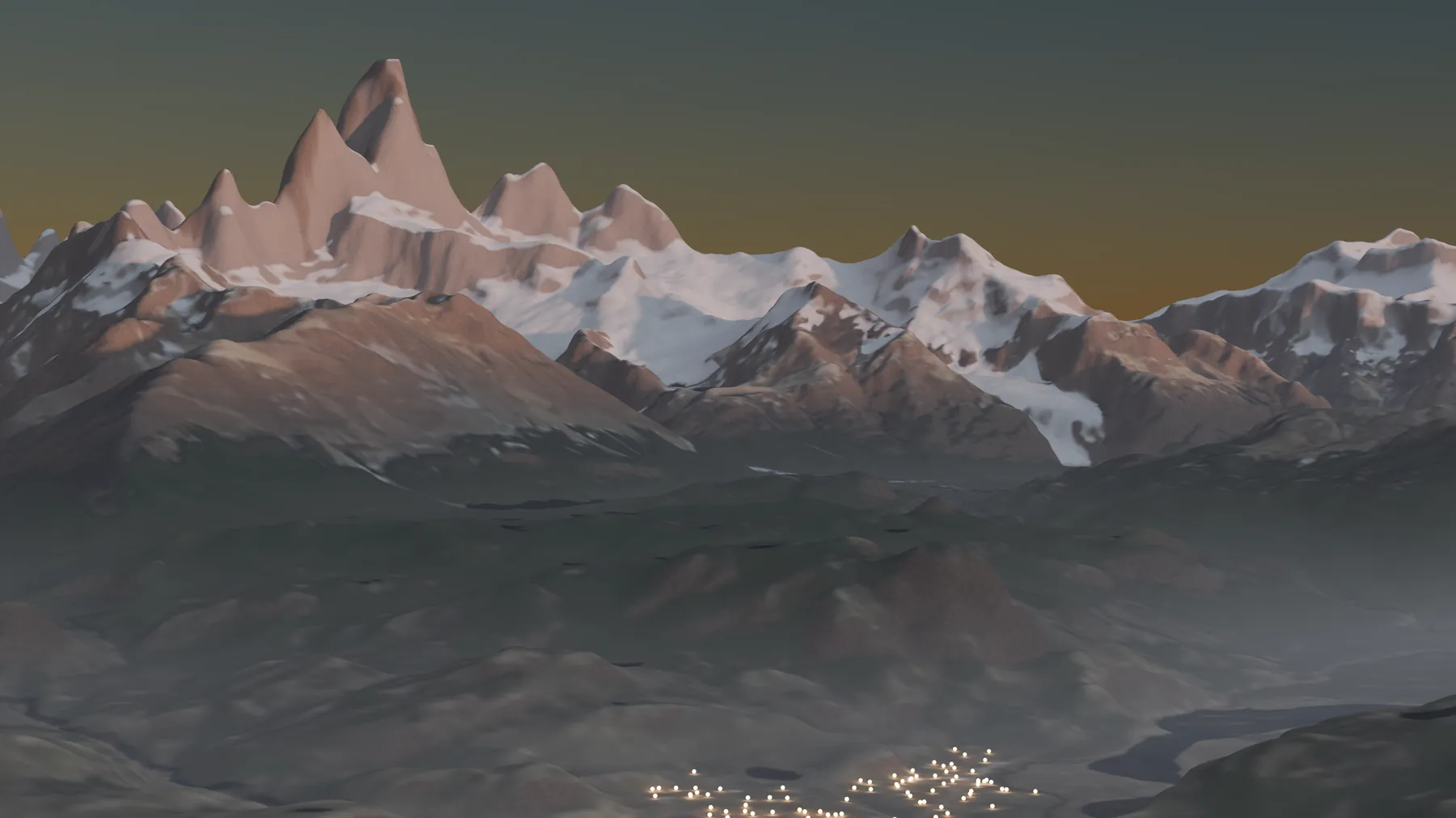
A town, in data
El Chaltén before sunrise.
Every light in town is a real place to stay, placed by its coordinates. The same render can mark only yours and show, in one image, where you are in relation to everything else.
What AI sees of those lightsMaps we've made
Made for websites that are already live.
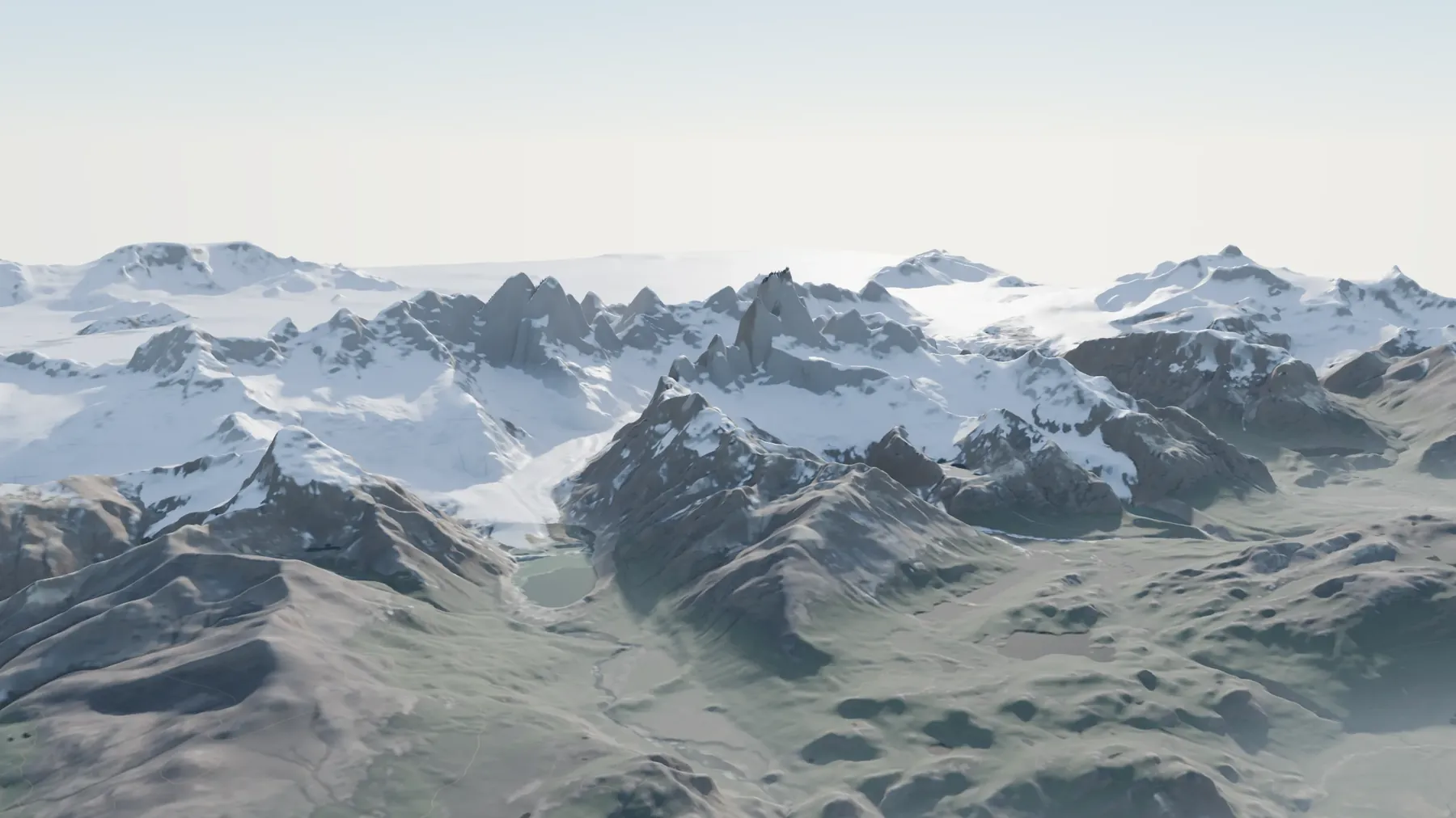
The massif, from afarThe website's opening: Fitz Roy and the valley on the real relief.Fitz Roy Expediciones ↗ 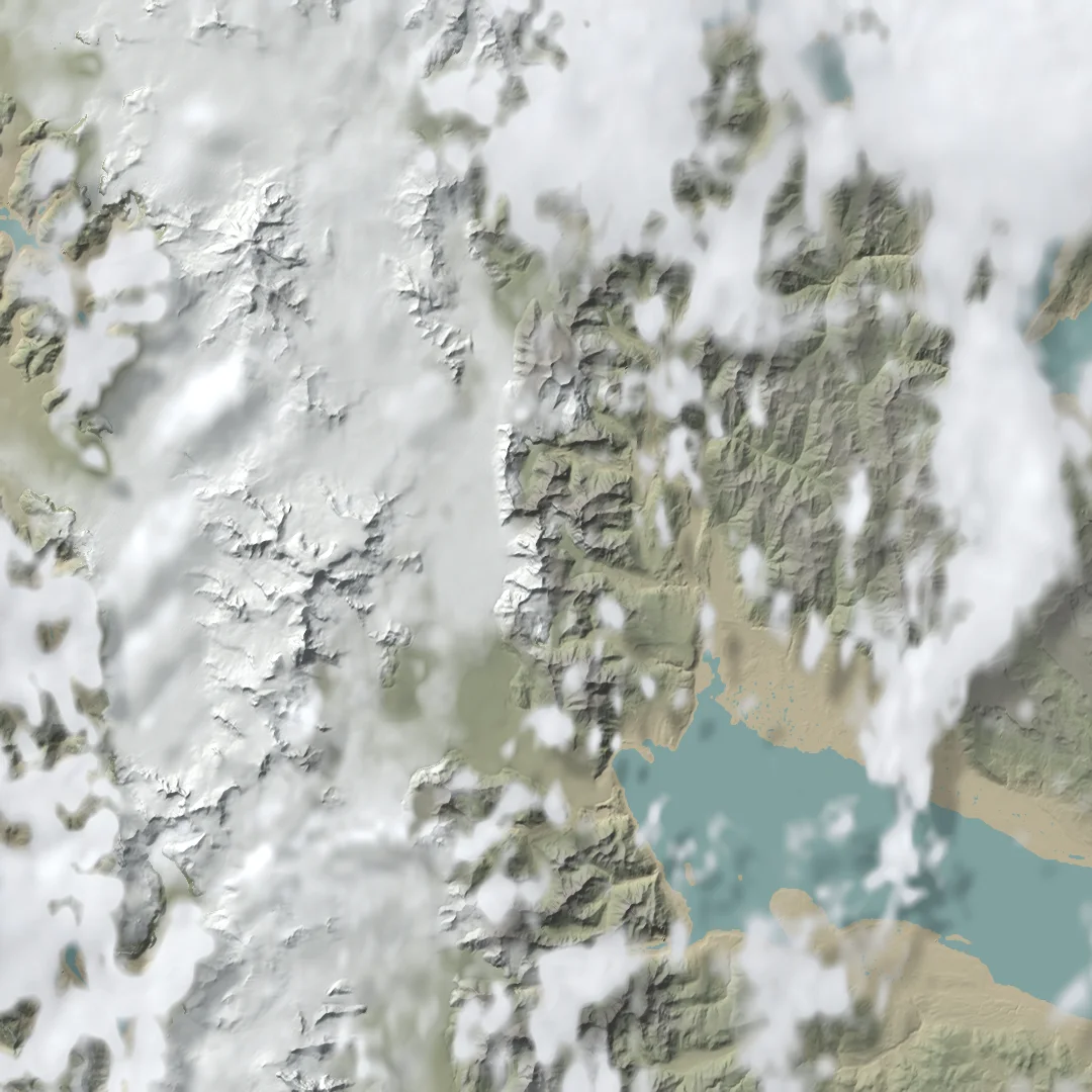
The sky, live from a satelliteThe last 24 hours of clouds seen by satellite, over the real relief and lit by the sun of each moment. Adds a new image every 10 minutes.Fitz Roy Expediciones ↗ 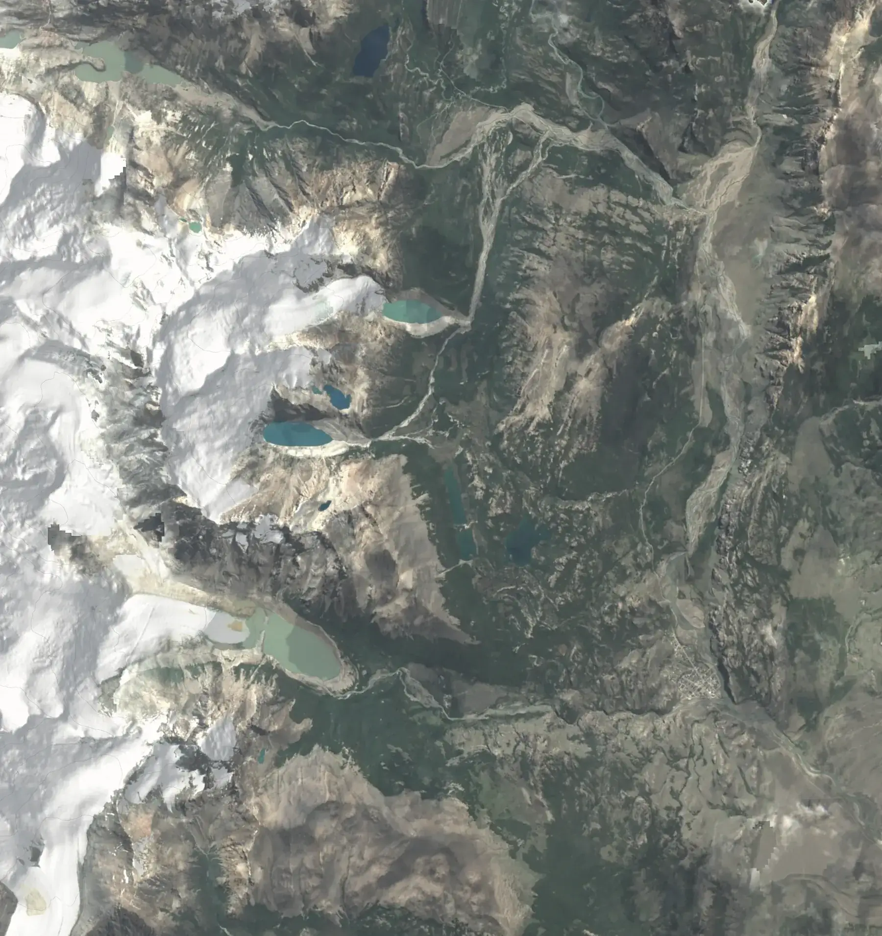
Trails from townRelief map for each trip's page.Fitz Roy Expediciones ↗ 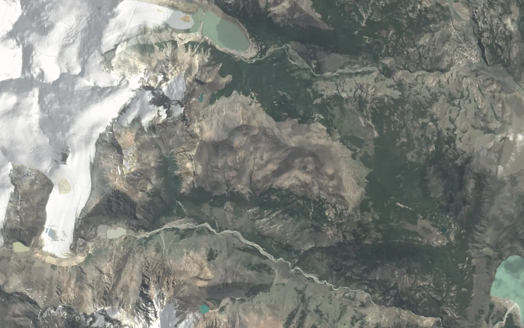
Laguna ToroA multi-day trail, with the glacier and river where they are.Fitz Roy Expediciones ↗ 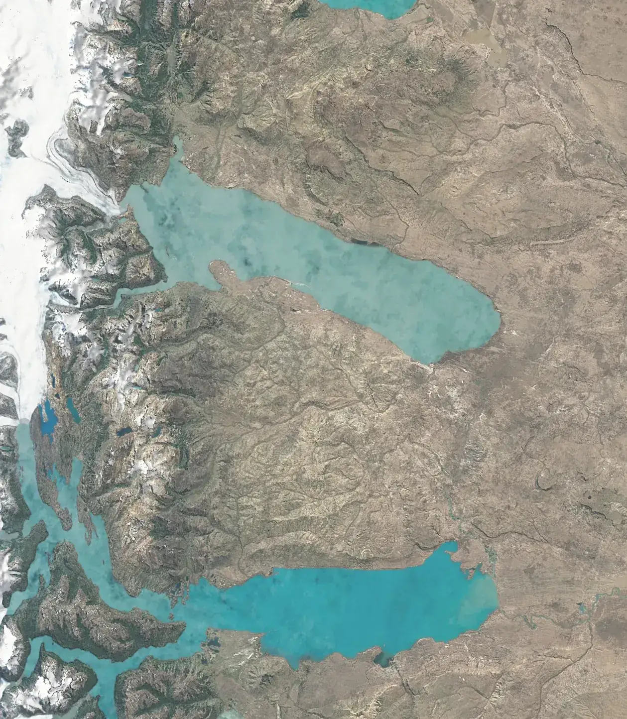
Getting thereFrom El Calafate to El Chaltén, between the two lakes.Fitz Roy Expediciones ↗ 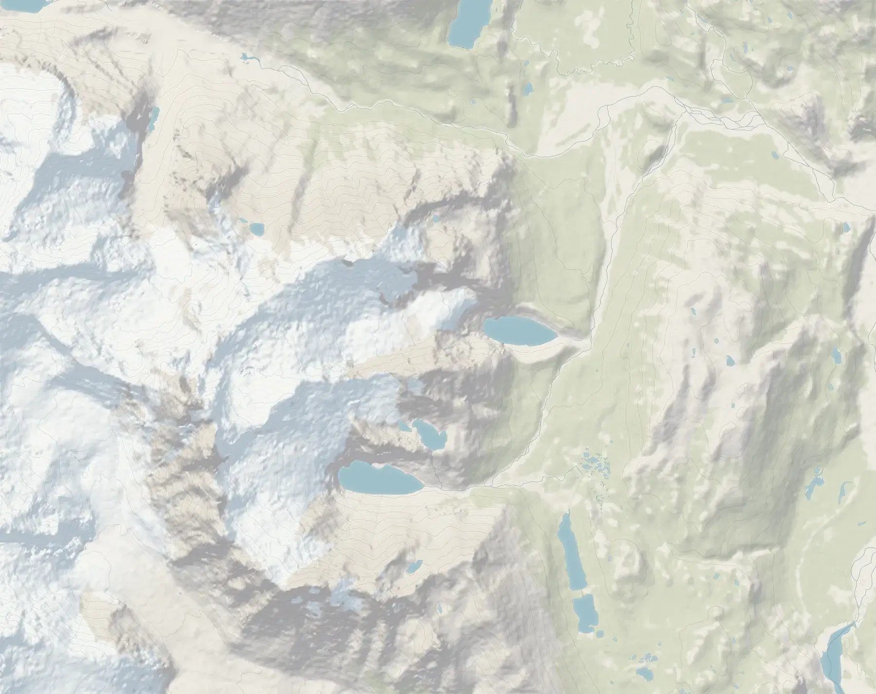
From the dome to the mountainWhere the domes are and where you can walk from there.Patagonia Eco Domes · Website launching soon 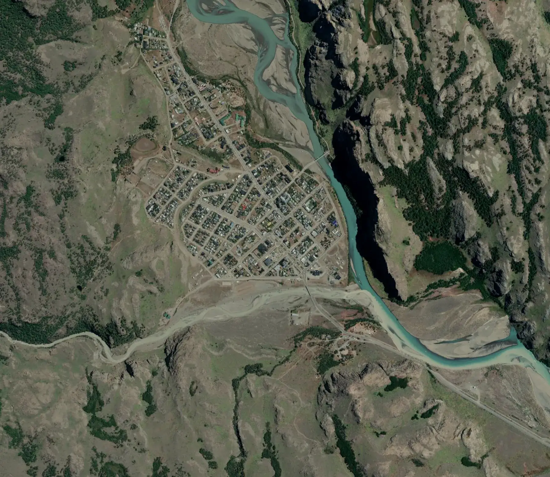
The town from aboveSatellite view to place the houses in town.Cerro Eléctrico · Website launching soon 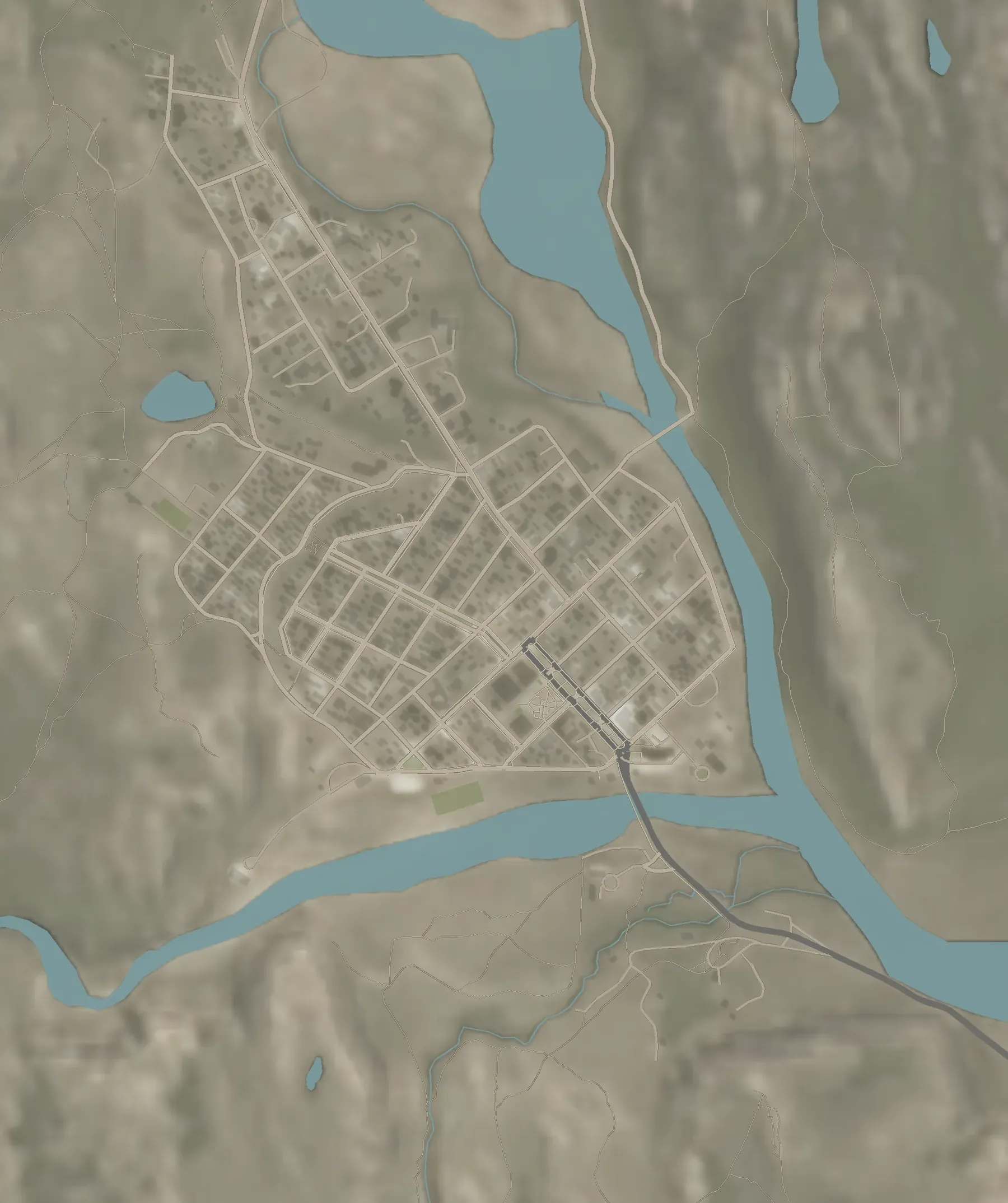
The town planStreets, river and shadows, at one metre per pixel.Fitz Roy Expediciones ↗
What they're made of
Real data, not a drawing.
The mountains aren't modelled by hand: they're built from satellite measurements. That's why Fitz Roy has its real shape and the river runs where it runs. Then we light it like a photographer, with the sun at the time and date that best tell your place.
| Relief | Copernicus GLO-30 | The European Space Agency's elevation model, one value every 30 metres |
|---|---|---|
| Colour | Sentinel-2 | Satellite imagery at 10 metres per pixel, corrected to the place's palette |
| Town and trails | OpenStreetMap | Streets, buildings, rivers and trails with their coordinates |
| Render | Blender Cycles | Physical light: sun, sky and shadows as they would really be |
| Output | AVIF and WebP | Light images so the website still loads fast on a phone |
Why it sells
Booking gives you a grey pin. This is yours.
On Booking every place has the same map: a dot on a grey plan. It doesn't say Fitz Roy is in your window, or that the trail starts two blocks away. A map of your own shows exactly what makes you different.
And it works for your website: Google indexes images by their name and text, travellers stay longer looking, and the same image works on Instagram and on your Google profile.
What you get
One map, in every format you'll use.
- 01
Aerial view
Your place marked on the relief, landscape for the website and portrait for stories.
- 02
Trail map
The walks from your door, also in a print version to leave in the room.
- 03
Getting there
From the airport or the main road to your entrance.
- 04
Interactive map
Optional: a 3D version that moves, loads after the rest of the page and doesn't load on phones.
Your map
Tell us where your place is.
With the location and what you want to show, we'll tell you which map fits and what it costs. If you'd also like your website reviewed, we'll do the free diagnosis.
Does it work if my place isn't in the mountains?
Yes. It works anywhere with something to show around it: a lake, the coast, a valley, a city with relief. The satellite data covers the whole world.
Will it slow my website down?
No. Maps are delivered as light images. The interactive version, if you want it, loads after everything else and doesn't load on phones.
Can I use the map on Google, Booking or Instagram?
Yes. You get the files in the sizes each place needs. The map is yours.
Do you only make them for website clients?
No. You can order just the map, even if another studio made your website.