Where the idea came from
The idea was Nicolás's: you enter WORLD and the camera starts above the village, rises slowly like a crane and shows Patagonia, then the continent, and finally the whole Earth turning. Nothing made up: real relief, real sea, real clouds.
There was one argument worth telling. First we tried a sky-blue background, like the sky here. It looked nice, but it wasn't believable: if you can see the whole planet, you're in space. The journey itself solved it. The sky starts blue over Chaltén and darkens as we rise, until it reaches the blue of the upper atmosphere.
An Earth we didn't draw
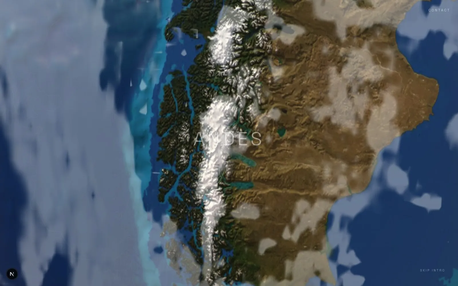
The base is Blue Marble, the mosaic NASA assembled from Terra satellite photographs, with the relief and the sea floor shaded. We downloaded it at full size, 21,600 by 10,800 pixels, and scaled it down for the web.
For the relief we used GEBCO heights, on land and under the sea. With them the planet is lit like a scale model: the sun comes in low from the west and every range has its lit side and its shadow. We exaggerated height forty times, because at true scale the Andes wouldn't show on the planet's edge, and we added contour lines every 500 metres, like a mountain map.
The sea is a layer of its own: turquoise over the shelf, deep blue over the trenches, and underneath, still visible, the sea floor.
Starting in Chaltén
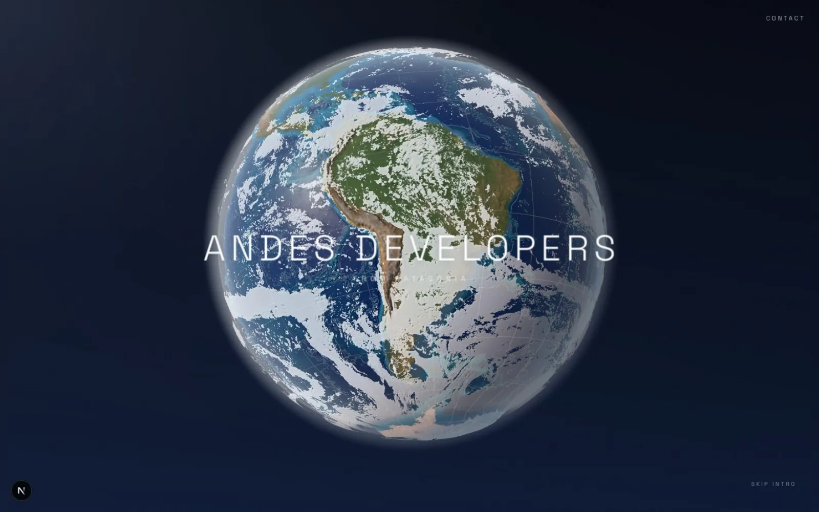
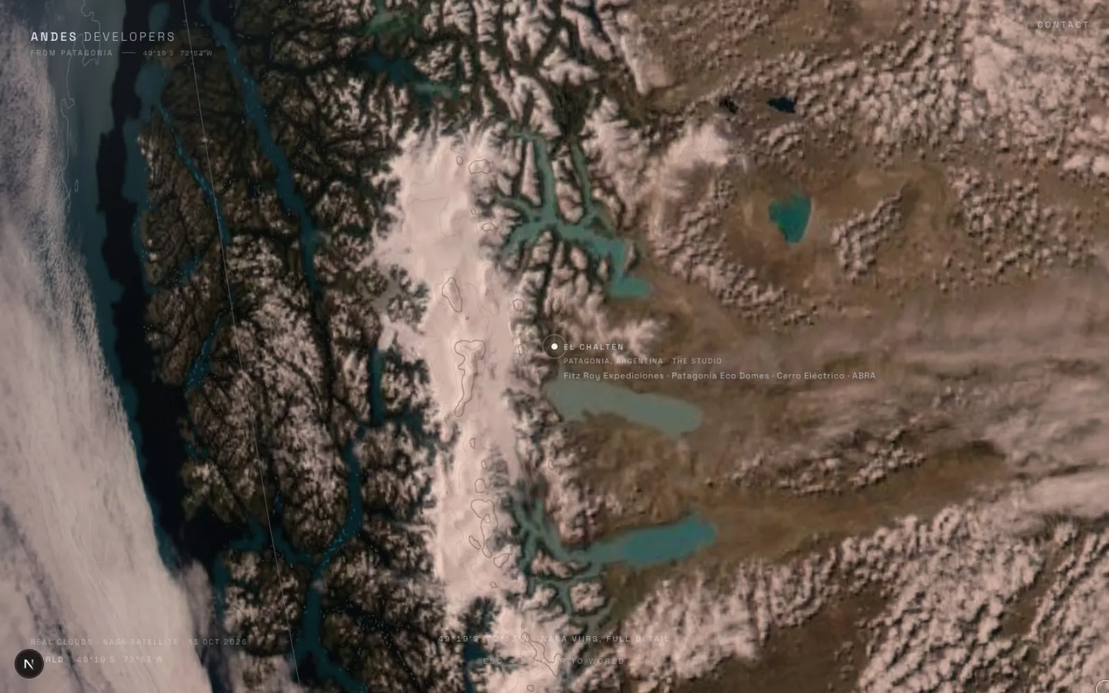
The first frame needed far more detail. We used the material from the 3D maps we made for Fitz Roy Expediciones: Sentinel-2 satellite imagery and the 30-metre Copernicus terrain model. You can see the ice field, the lagoons and the Río de las Vueltas valley.
The journey passes through four layers that blend without a cut: Chaltén at about 27 metres per pixel, its surroundings at about 140 metres from EOX's cloud-free Sentinel-2 mosaic, Patagonia at nearly 2 kilometres and the planet at 10. We matched each layer's colour to the one next to it, so you can't tell where one ends and the next begins.
| Layer | Where it comes from | Detail | Updated |
|---|---|---|---|
| The planet | NASA Blue Marble and GEBCO heights | ≈ 10 km per pixel | No |
| Patagonia | NASA Blue Marble, full size | ≈ 1.8 km per pixel | No |
| Around Chaltén | Sentinel-2 cloudless (EOX) | ≈ 140 m per pixel | No |
| El Chaltén | Sentinel-2 and the Copernicus terrain model | ≈ 27 m per pixel | No |
| The clouds | NASA GIBS, VIIRS instrument (two satellites) | ≈ 20 km per pixel | Daily |
| The Moon | NASA Lunar Reconnaissance Orbiter | ≈ 5 km per pixel | No |
Yesterday's clouds
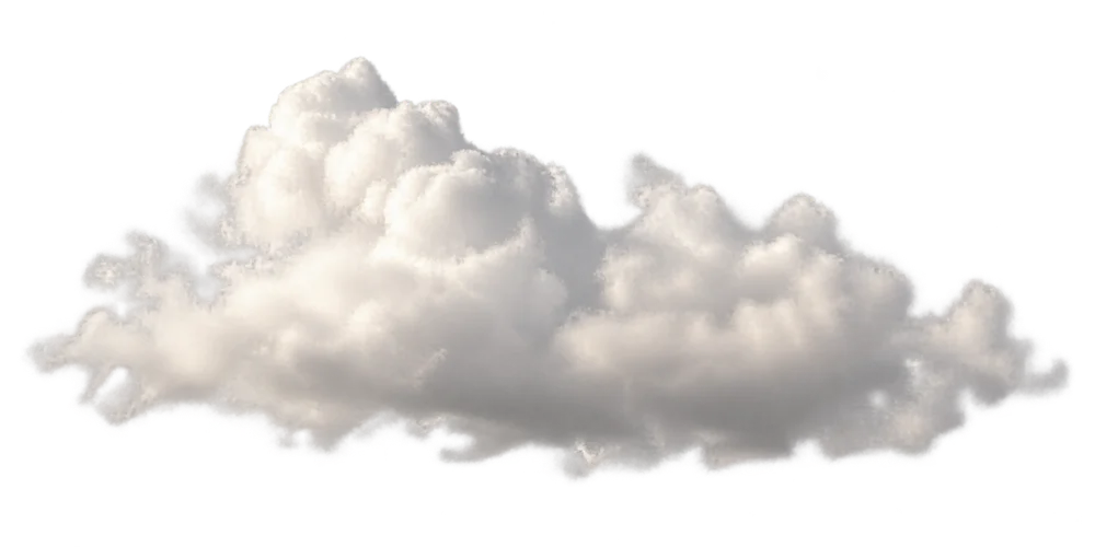
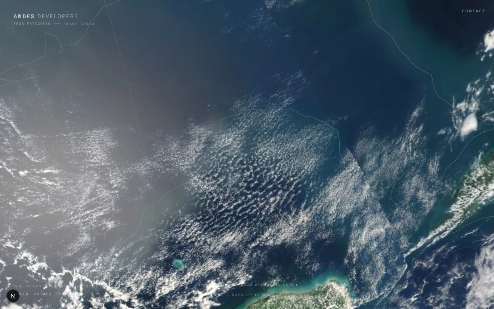
The clouds aren't a drawing. Every time someone comes in, WORLD asks NASA for the previous day's photograph of the whole planet, taken by the VIIRS instrument on the Suomi NPP satellite. It's the latest complete day: today is still being photographed.
From that photograph we keep only the clouds: we compare what the satellite saw with the cloud-free Earth, and what's left over is cloud. Thin cloud stays see-through and snow isn't mistaken for cloud. Between one orbit and the next there are strips with no photograph; there we use the one from NOAA-20, which carries the same instrument and passes about 50 minutes later. If there was a hurricane in the Caribbean yesterday, there it is. That's why the screen says which day they're from.
Our map
On the Earth we marked where each piece of work was made: El Chaltén, the Canary Islands, Lanzarote and Berlin. The planet isn't something you handle: it's the backdrop. What you explore is the work.
Keeping it light
All of this runs on the viewer's graphics card. The Earth, the clouds and the sky are short programs computed pixel by pixel, with no video and no heavy models. WORLD loads about 3.8 MB of imagery the first time, and only when you go in.
On the home page, the small globe that leads to WORLD is something else: a 58-pixel Earth drawn without 3D, from a 51 KB image. The home page has to open instantly.
Why we made it
Because it's what we do for our clients, at another scale. For Cerro Eléctrico we built the valley from real terrain and satellite data to show the distance to the trail instead of promising it. With the open data available today, a small website can show a place as it really is, and that convinces more than any retouched photo.
The way into WORLD is on the home page, below the Enter button. And if you'd like something like this for your hotel or your place, write to us.
Sources
- NASA Earth Observatory — Blue Marble: Next Generation
- NASA Visible Earth — Topography and bathymetry (GEBCO)
- GEBCO — General Bathymetric Chart of the Oceans
- NASA Earthdata — GIBS (Global Imagery Browse Services)
- NASA Earthdata — VIIRS instrument
- NASA Scientific Visualization Studio — CGI Moon Kit (LRO)
- Copernicus Data Space — Sentinel-2
- Sentinel-2 cloudless — s2maps.eu by EOX IT Services GmbH (contains modified Copernicus Sentinel data 2016), CC BY 4.0
- Copernicus Data Space — Copernicus DEM (GLO-30)
- three.js